Saint Lucia
Country Statistics
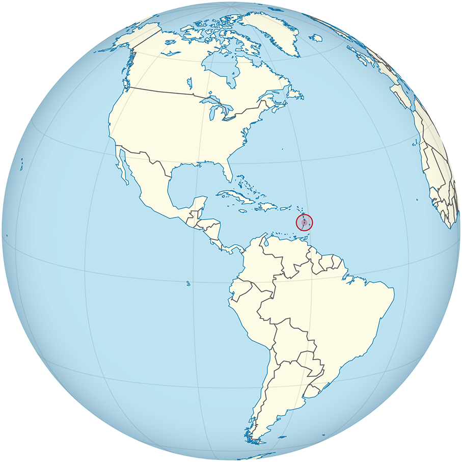
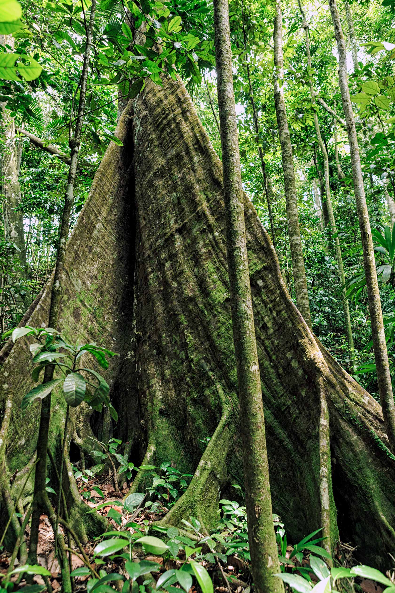
About 47,000 hectares of Saint Lucia is forested, according to FAO. Of this 25.5% is classified as primary forest, the most biodiverse and carbon-dense form of forest. Saint Lucia had 1,000 hectares of planted forest. Between 1990 and 2010, Saint Lucia lost an average of 150 hectares or 0.34% per year. In total, between 1990 and 2010, Saint Lucia gained 6.8% of its forest cover, or around 3,000 hectares.
Our Work
|
Country timeline
|
Greenhouse Gas Inventory (GHGi) for Agriculture, Forestry and Other Land Use (AFOLU) and National Inventory Report for inclusion in Biennial Update Report (BUR) 1 (2021)
Forest Reference Level for submission in January 2021 |
|
Main activities in 2020
|
|
National context
National datasets supporting a higher-tier estimation of the emissions and removals from the Agriculture, Forestry, and Other Land Uses (AFOLU) sector (in agreement with latest guidance by the IPCC) were lacking. CfRN provided training and capacity building to Saint Lucia for collecting land use and land use change data using the Collect Earth Tool mapping tool. This took place in a joint mission with Dominica, Panama and Belize at the end of 2019, and was followed by different stages of quality control during the first weeks of 2020.
Training on the development of the GHG inventory for Agriculture Forestry and Other Land Use (AFOLU) and the Nationally Inventory Report (NIR)
Following data collection, a technical training program was organized to build capacity and increase knowledge about the tools available for AFOLU GHG inventory preparation. The training also focussed on the preparation and submission of the AFOLU-GHG inventory to the UNFCCC via National Communications (NCs) and/or Biennial Update Reports (BURs), as well as the REDD+ Forest Reference Emission Levels/Forest Reference Levels (FREL/FRL), and included:
Reporting National Circumstances
- Recapitulation of national circumstances and national policies/ strategies and corresponding links to the GHG Inventory (MRV)
Reporting of Institutional Arrangements
- Framework diagram for hierarchy levels
- Table of Roles and Responsibilities (AFOLU)
- Reporting Cycle
National Reporting to UNFCCC
- Biennial Update Reports- quick overview of Decision 2/CP.17, Annex III
- National Communication – quick overview of Decision 17/CP.8
- Forest Reference – quick overview of Decision 12/CP.17
2006 IPCC guidelines applied in the RRR+ Foundational Platform
- Implementation of Transparency, Accuracy, Consistency, Comparability and Completeness (TACCC) Principles
- Updates on 2019 guidelines
- GHG estimations using Volume 4, AFOLU
Forest Reference Level and the RRR+ Foundational Platform
- Consistency between FRL and GHG Inventory
- Review process of FREL
- REDD+ Technical Annex to BUR
Documentation
- Reporting Results-Based REDD+ Nationally Inventory Report Template
Quality Control/Quality Assurance protocols
Archiving
Improvement plan
- RRR+ Improvement plan template
A draft FREL was finalized and underwent QA by the Independent Panel of reviewers. The FREL was successfully submitted in January 2021.
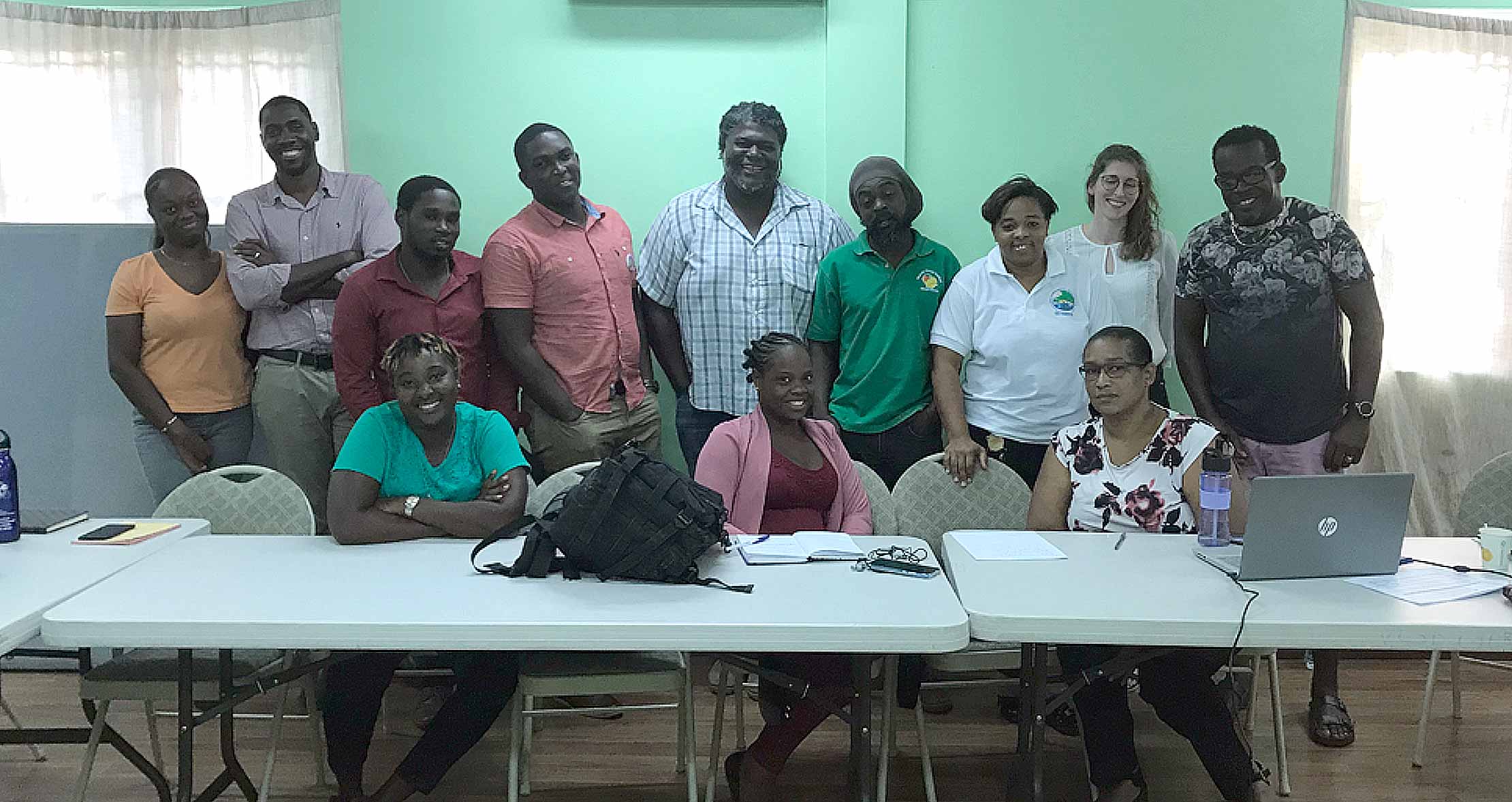
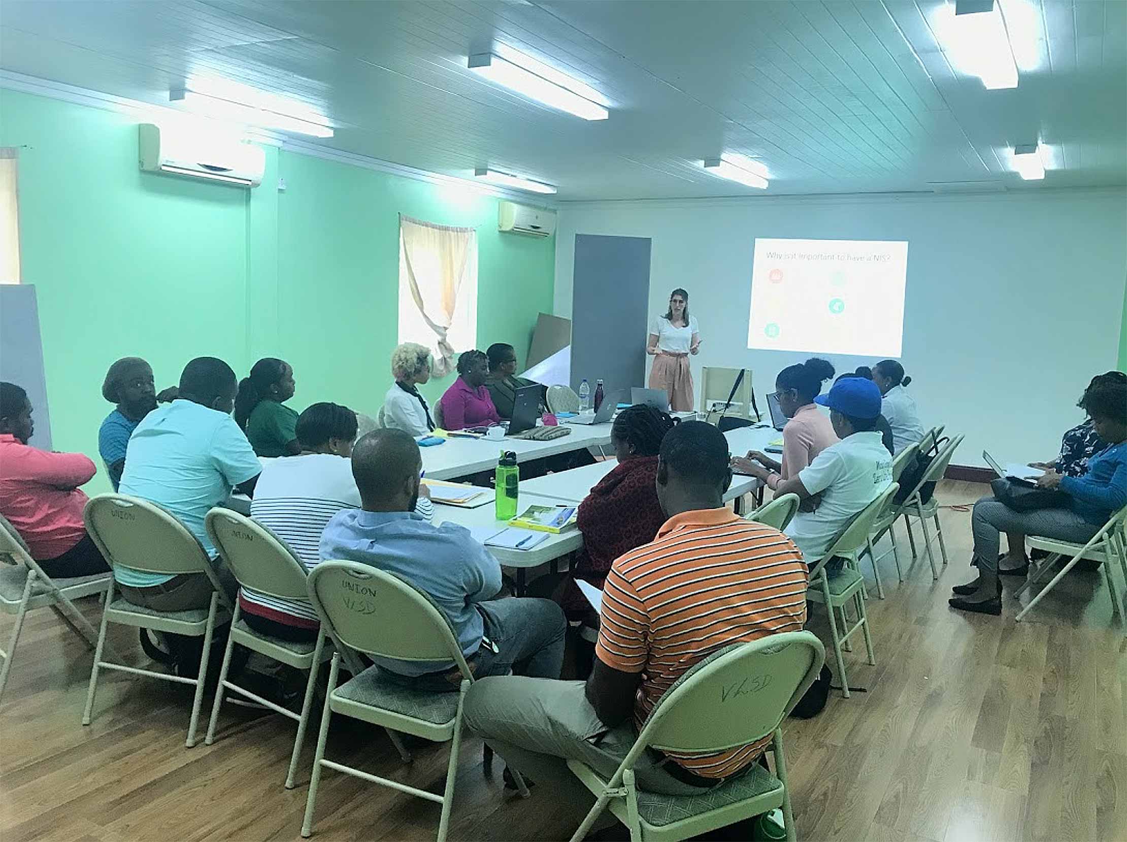
Technical sessions on Collect Earth campaign held in Saint Lucia
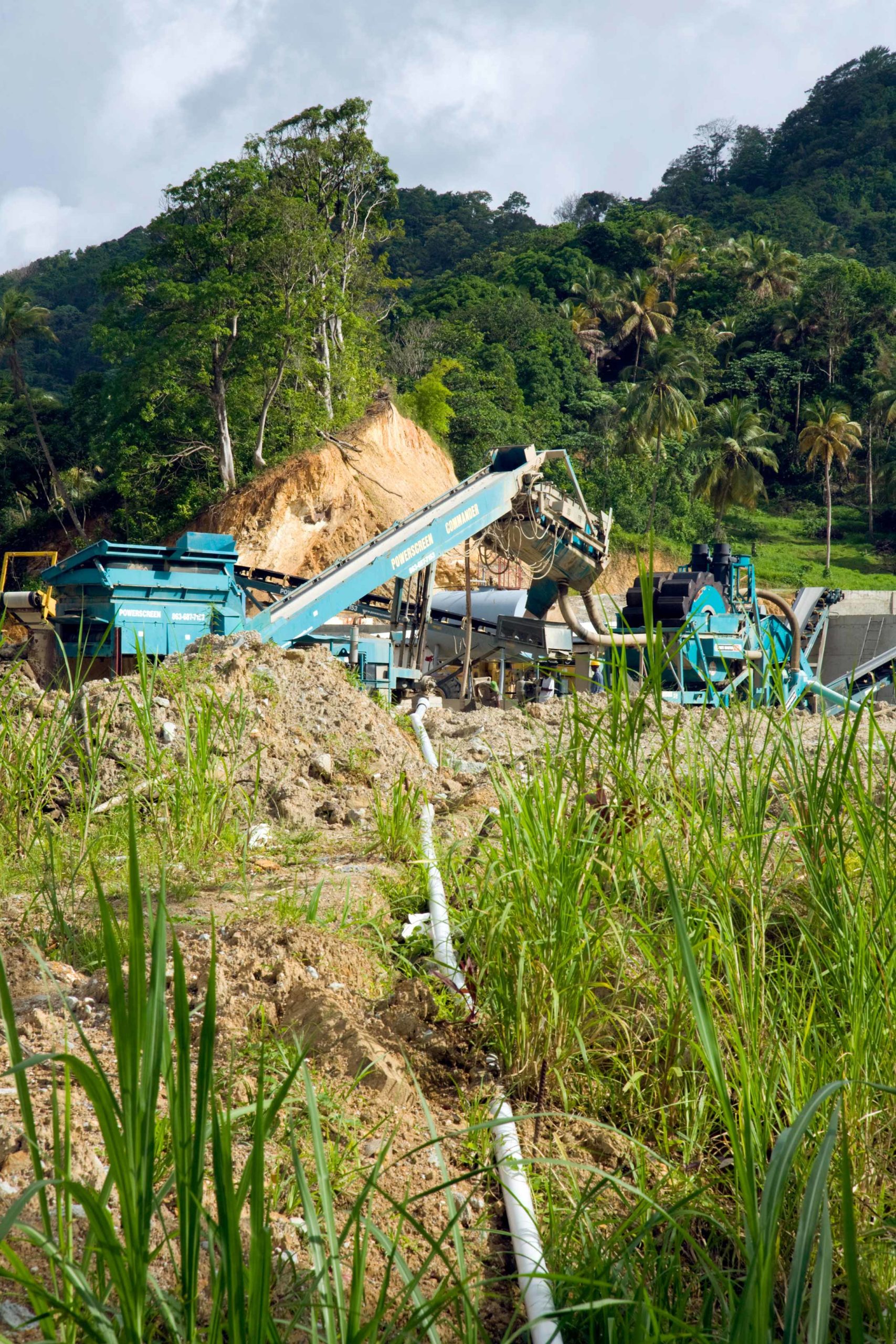
Construction machinery clearing areas of the rainforest, St Lucia
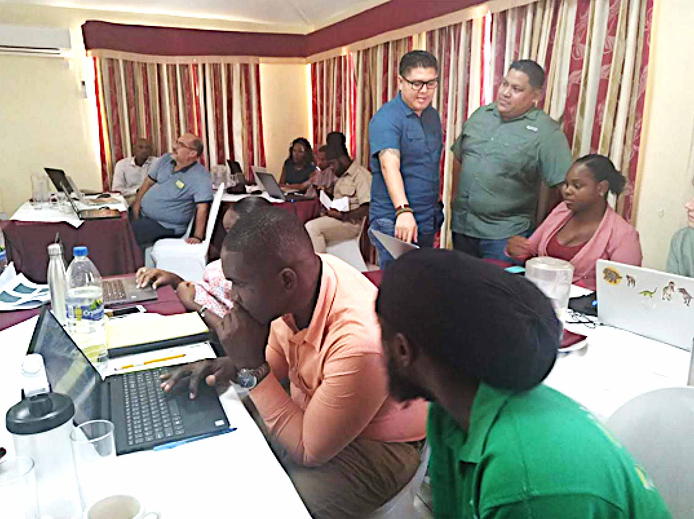

Saint Lucia, Dominica, Panama and Belize national experts participating in the CfRN training in Saint Lucia
“Forests cover about 77% of the country of Saint Lucia, representing 47,000 hectares. Between 1990 and 2010, Saint Lucia gained 6.8% of its forest cover, or around 3,000 hectares.”
“Ficias il etur? Igendae. Adiam que peles mi, vel id esto beaquatem facepra pro bere veris eiumquis comnim”
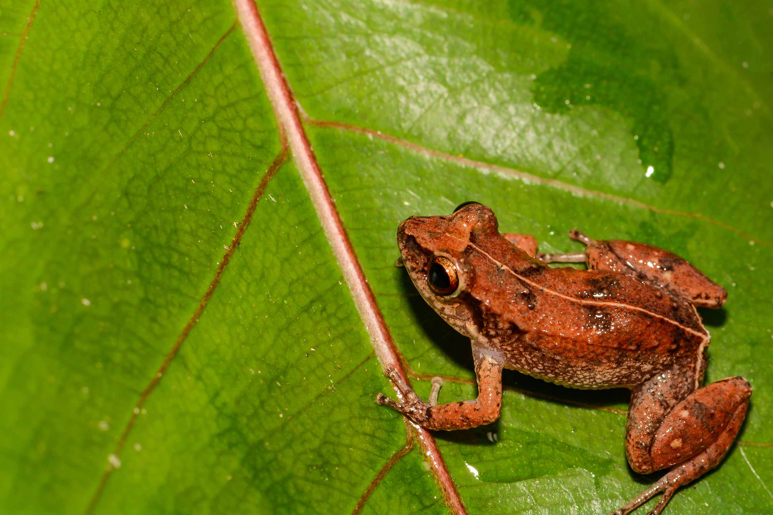
Lesser Antillean Whistling Frog
Species
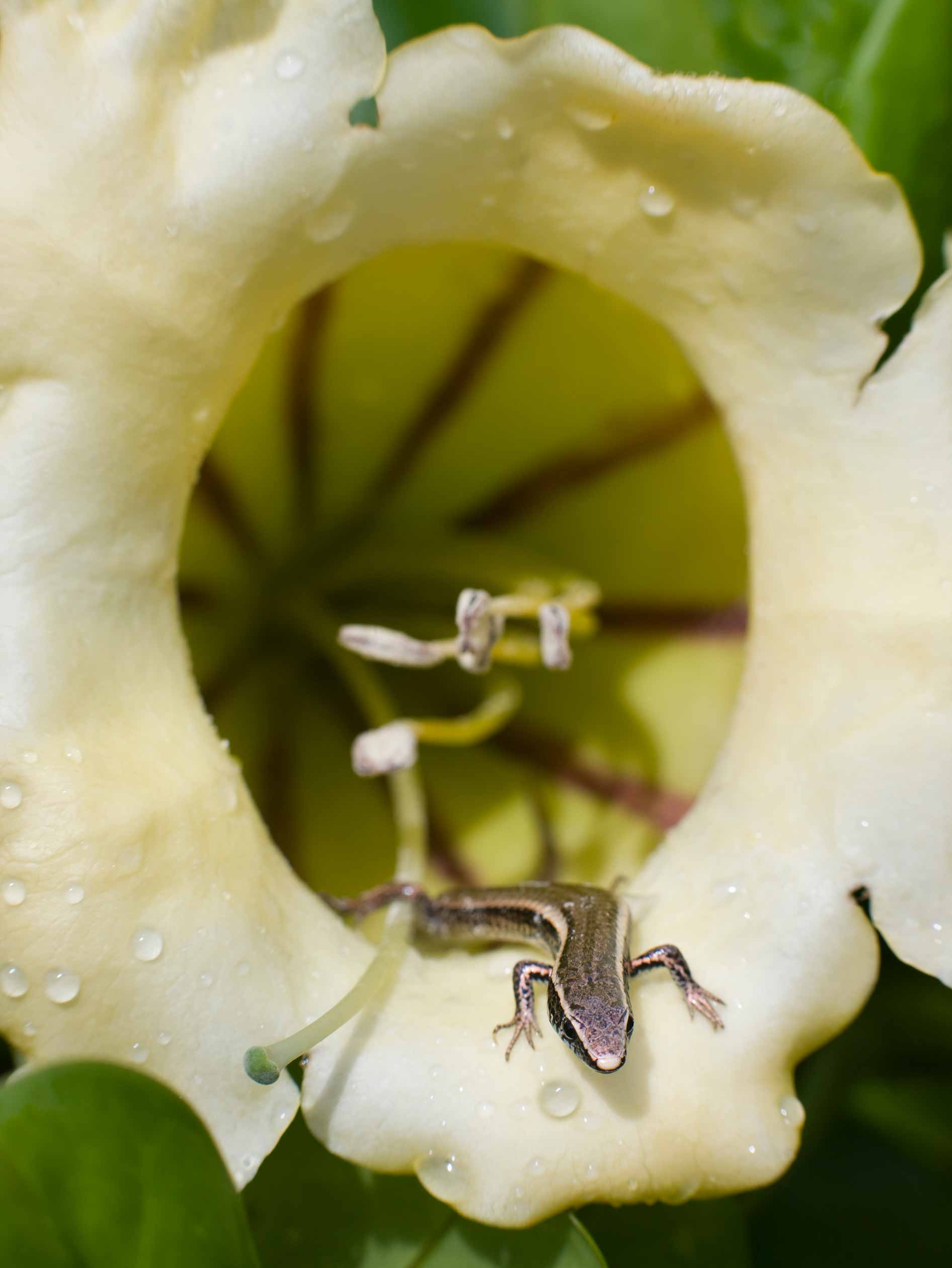
St. Lucia has some 201 known species of amphibians, birds, mammals and reptiles according to figures from the World Conservation Monitoring Centre. Of these, 6.5% are endemic, meaning they exist in no other country, and 6.5% are threatened. St. Lucia is home to at least 1028 species of vascular plants, of which 1.1% are endemic. 2.4% of St. Lucia is protected under IUCN categories I-V.
Useful Links
Background
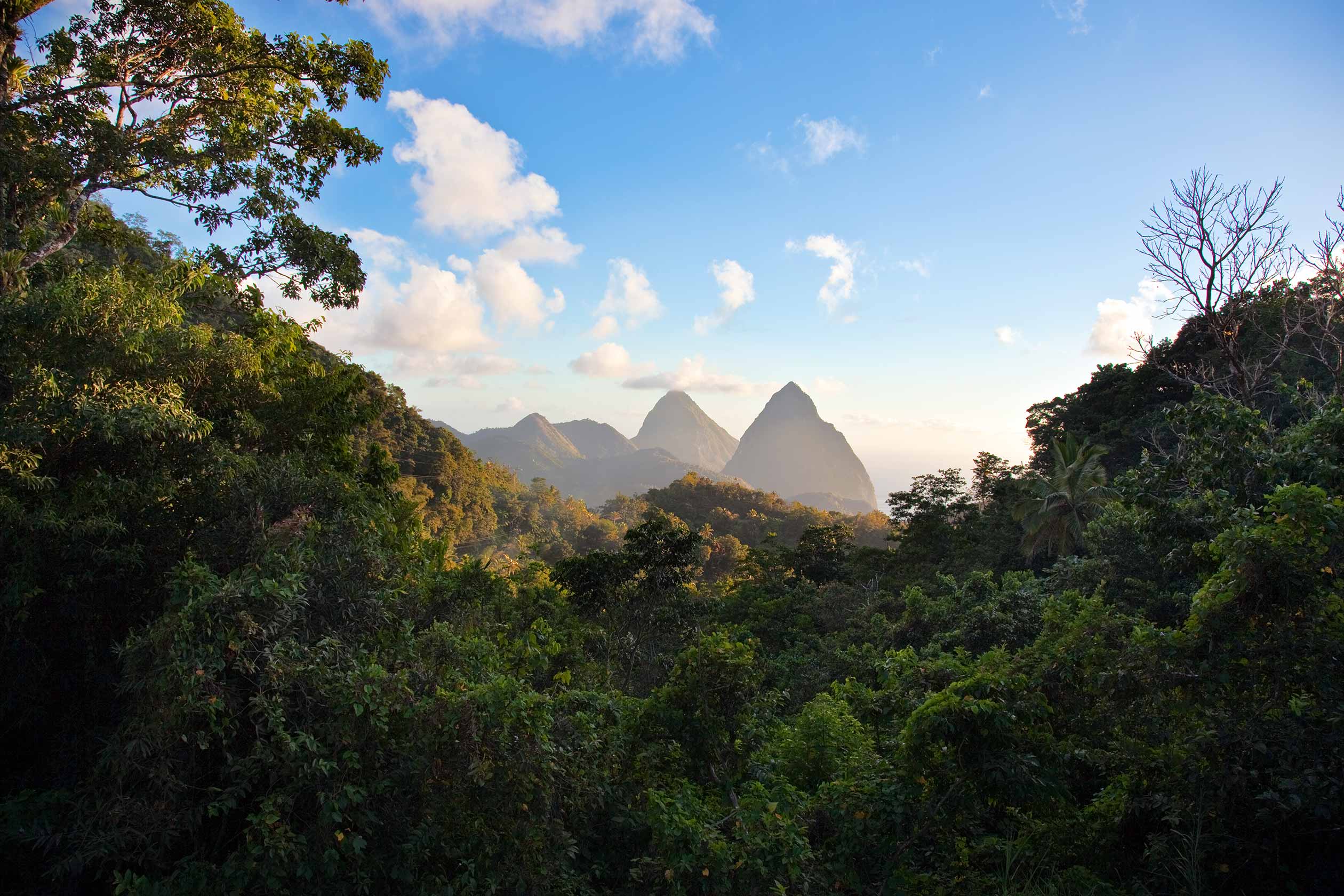
The two Pitons located in St. Lucia, Caribbean
The volcanic island of Saint Lucia is more mountainous than most Caribbean islands, with the highest point being Mount Gimie, at 950 metres above sea level. Two other mountains, the Pitons, form the island’s most famous landmark. Forests cover about 77% of the land area. The capital city of Saint Lucia is Castries (population 60,263) where 32.4% of the population lives. The population tends to be concentrated around the coast, with the interior more sparsely populated, due to the presence of dense forests.
