CfRN Launches New App On Land-Use Change Over Time Using Satellite Imagery
April, 2022, New York
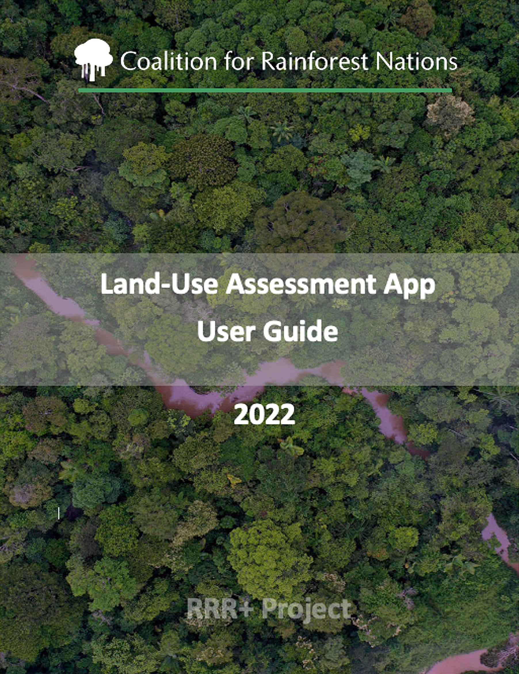
In February, CFRN launched a new application that allows countries to collect data on land use and land use change over time, making reporting to the UNFCCC on deforestation data or carbon stocks easier and more accurate.
Rainforest countries need to collect data on land-use and land use change regularly to update their national greenhouse gas inventories as part of their commitment to the Paris Agreement. The information is also vital for applying IPCC guidelines and REDD+ submissions that comply with UNFCCC decisions.
Access to reliable data is still very scarce in many developing countries, and access to high-resolution images is very costly. Recently, Google Earth Engine and Planet NICFI began to make images freely available. The CfRN Land Use Assessment App directly links to these freely available images, allowing countries to track land use and land-use change through time with spatially explicit information, including natural as well as human disturbances such as fires, logging, hurricanes, pests, and others.
The application is an extension of Collect Earth Online (CEO), and uses the major functions of CEO, which is shared through the Open Foris Initiative of UN’s Forestry Agricultural Organization. CEO was developed by SERVIR, a joint initiative of NASA, USAID, and leading geospatial organizations in Asia, Africa, and Latin America.
For the CfRN Land Use Assessment App, the codebase was modified and adapted with specific elements to facilitate the work of CfRN’s countries, such as fully formatted for greenhouse gas inventory reporting for the Agriculture, Forestry and Other Land Use sector (AFOLU) and REDD.
Additional features include:
- Project templates that follow the CfRN Foundational Platform (FP) structure for AFOLU-GHG Inventories, Forest Reference levels, REDD+ results, National Determined Contributions, and corresponding Monitoring, Reporting, and Verification systems (MRV).
- A coding system developed by CfRN team to do plot-by-plot analysis, which allows more accurate estimations of GHG emissions and removals over time due to land use conversions or disturbances.
- Ability to collect land use information by plot, by sample, and/or by center point, which could be used for machine learning models
- Translations into French and Spanish for African and Latin American countries
- CEO key features, such as easy grid and survey creation, specific to each country’s needs.
The app was made possible thanks to the financial support of the Norwegian Agency for Development Cooperation (NORAD) and the technical support of Feras Al-Saab, Alsaab Digital Ventures, and Collect Earth Online
“It is rare for an opportunity to arise that combines technology and environmental impact at scale. I have been fortunate to have been part of this initiative and working with such a great team.” Feras Al-Saab, CEO of Alsaab Digital Ventures.
The new product will be available to all CfRN countries receiving technical training free of charge.

The new product will be available to all CfRN countries receiving technical training free of charge.


